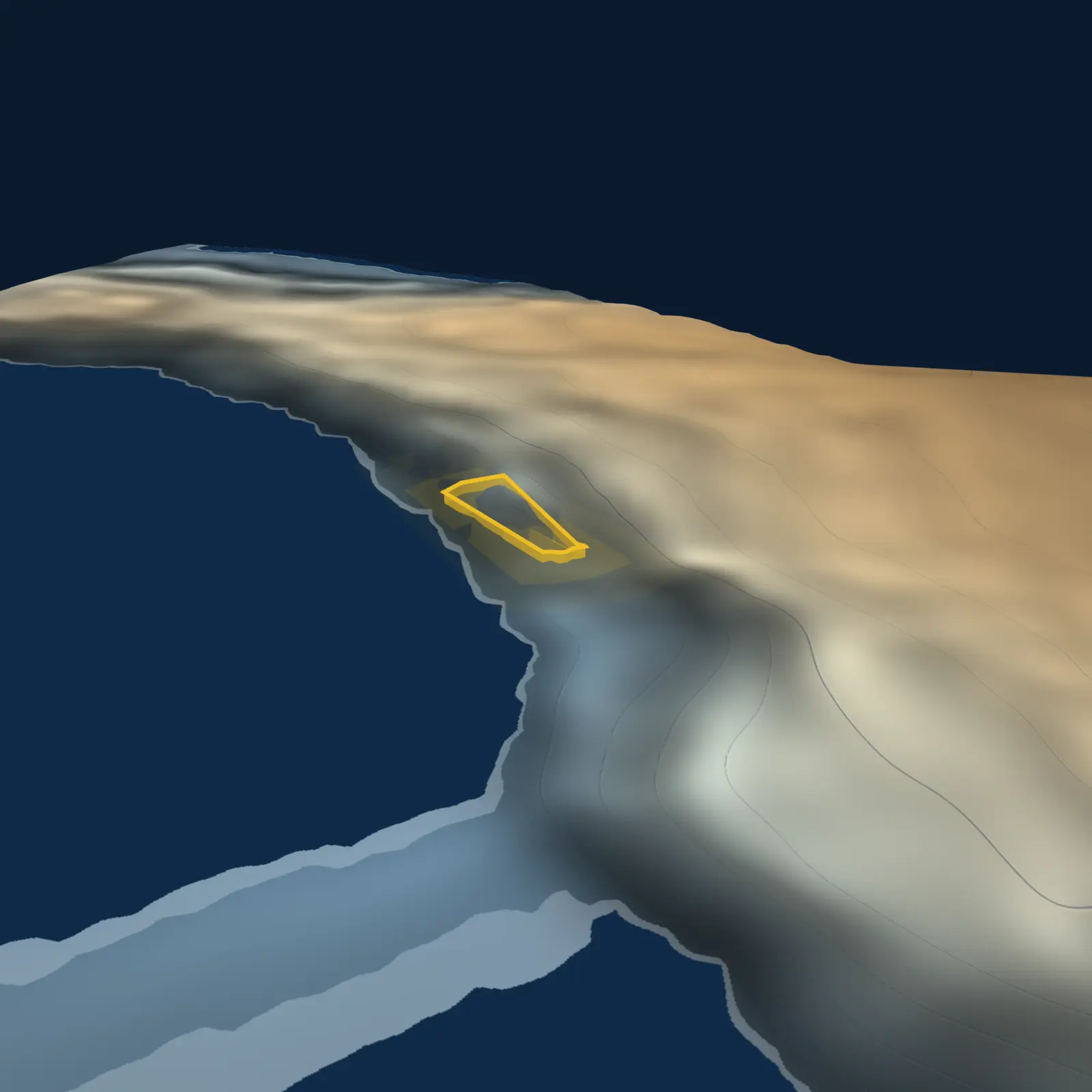
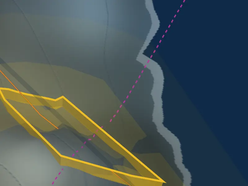
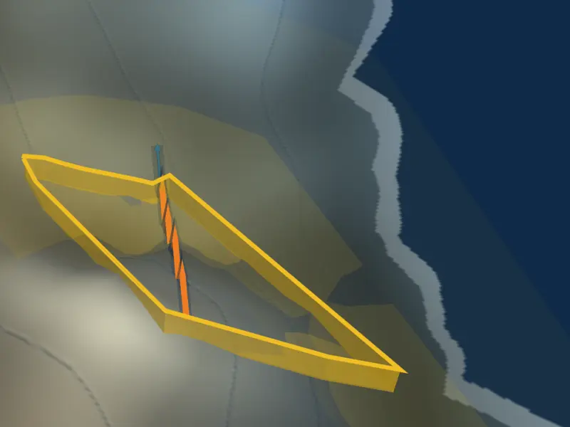
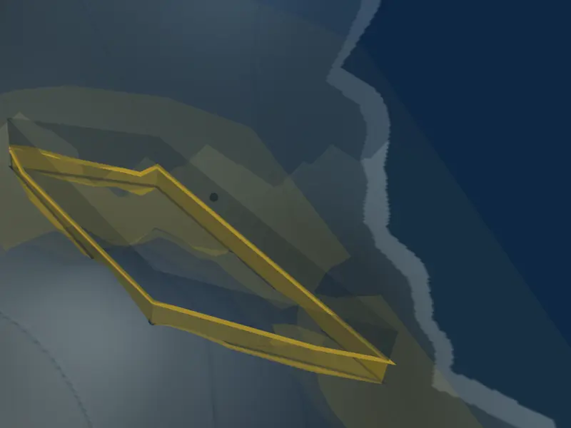
Why it exists. A listing photo shows you what’s on the land. It cannot show you the land — and the land is where the hidden costs live. A 38-degree fall across a parcel disappears in a photograph; it commands the model. Slope, fall direction, where water goes when it rains, what winter light reaches the block — these shape footings, drainage, retaining walls and daylight, and none of them are visible in a photo. So we model the thing the costs come from.
How it’s made. The terrain is baked from Geoscience Australia’s 5-metre LiDAR elevation grid — public, measured, licensed for exactly this. Onto it we compute, never draw: relief shading and elevation tint from the measured heights; engraved contours; slope-darkening so steeper ground reads darker (and we say so on the model); the parcel boundary from real cadastral geometry; overland flow traced from the same elevation; sun positions computed astronomically for the site’s actual latitude — the winter shadow you see is the winter shadow the block gets. The grade figure on the model is the report’s own number, to the decimal. One source of truth, extended into three dimensions.
What it refuses to show. Buildings, fences and vegetation are not modelled — we’d rather show you nothing than show you a guess. The model never displays anything the report hasn’t assessed. And it’s stamped on every frame: a model, not a photo.
Why it’s ours. Because every pixel is computed from open government data, the model is licence-clean end to end — it appears in your PDF, works for any Australian address the elevation survey covers, and rents nothing from anyone. Property products either show you flat maps or someone else’s photography. We built the land.